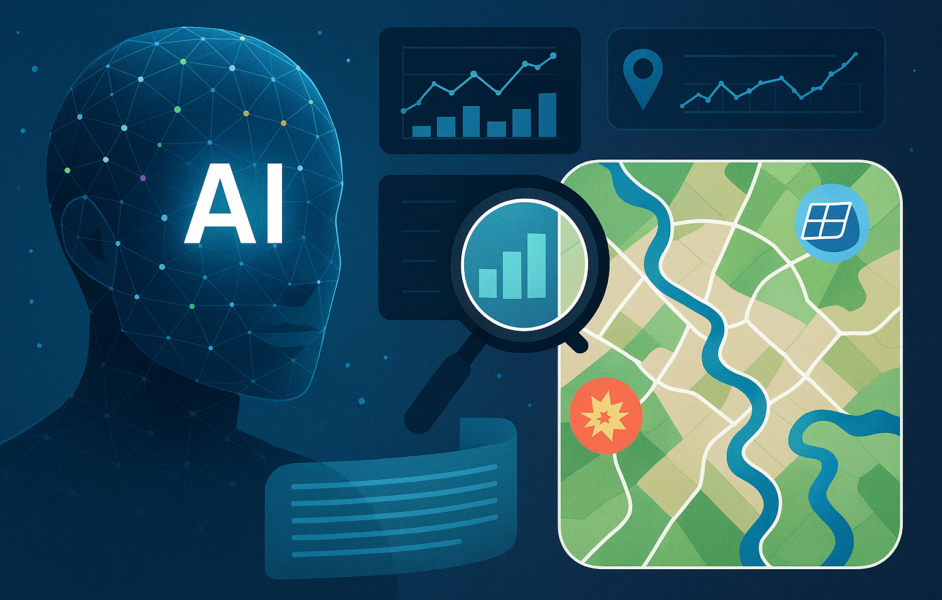
Discover the Power of Google’s Cutting-Edge Geospatial AI Technology
Unlocking Insights with Google’s Geospatial Reasoning Framework
Find out how Google’s Geospatial AI is transforming the way we interact with spatial data, offering faster and more efficient insights for critical geospatial intelligence.
Revolutionizing Geospatial Intelligence with Gemini
Explore how Google’s innovative Geospatial Reasoning framework combines generative AI and specialized geospatial models to provide real-time answers to complex spatial questions.
Geospatial Reasoning: A Game-Changer for Crisis Response
Discover how Google’s AI framework is revolutionizing disaster response, offering faster and more accurate insights for responders in high-pressure situations.
Enhancing Climate Resilience with Google’s Geospatial AI
Learn how Google’s Geospatial Reasoning is helping city planners and climate experts address climate change challenges by providing predictive insights backed by robust data.
Empowering Decision-Makers with Google’s Geospatial AI
Find out how Google’s Geospatial AI is making geospatial intelligence more accessible and user-friendly for professionals in various fields.
Navigating Ethical Considerations in Geospatial AI
Understand the importance of ethical considerations and responsibilities when using Google’s Geospatial AI technology for critical decision-making.
-
How can Google’s geospatial reasoning transform crisis response efforts?
Google’s geospatial reasoning allows for real-time mapping and analysis of disaster areas, helping emergency responders prioritize resources and assess the extent of damage more accurately. -
Can Google’s geospatial reasoning help with climate response efforts?
Yes, Google’s geospatial reasoning can help identify patterns and trends related to climate change, allowing for better planning and mitigation strategies. -
How does Google’s geospatial reasoning enhance decision-making during a crisis?
By providing detailed maps and data visualizations, Google’s geospatial reasoning can help decision-makers quickly assess the situation on the ground and make more informed choices about resource allocation and response strategies. -
Is Google’s geospatial reasoning accessible to all organizations, or only large ones?
Google’s geospatial reasoning tools are accessible to organizations of all sizes, with some features available for free and others offered as part of paid service packages. - Can Google’s geospatial reasoning be used to track the impact of climate-related disasters over time?
Yes, Google’s geospatial reasoning can be used to track the long-term impact of climate-related disasters by analyzing historical data and monitoring changes in affected areas over time.


